Deforestation in West Africa: the forest cover that is fading away
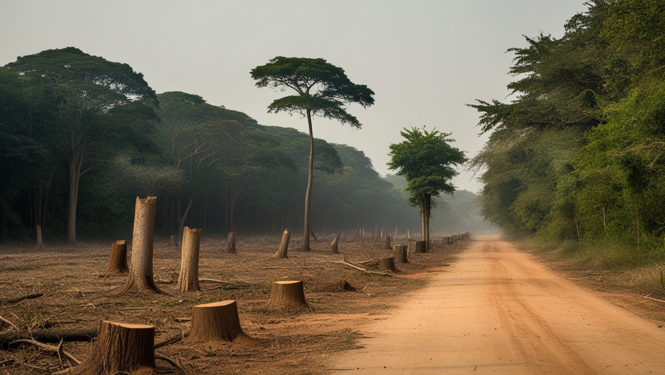
In 1990, Côte d'Ivoire ranked among the most forested countries in West Africa, with nearly a quarter of its territory under forest. Thirty years later, only 8.6 % remains: cover fell from 78,509 km² to 26,109 km², a loss of more than 52,000 km², two thirds of its forest erased in a single generation. This is no local accident. It is the most visible edge of an erosion spreading across the entire coastal belt and creeping toward the Sahel, on a continent that already records the highest net rate of forest loss in the world. The forest that is vanishing is not scenery: it is the water base, the soil fertility and the carbon sink on which, precisely, the very farming that clears it depends. The question is therefore no longer whether West Africa is losing its forests, but whether it will finally decide to measure, and thus to steer, what remains.
A two-speed forested region
World Bank data, anchored to the FAO's, draw for 2021 a deeply uneven forest map. At the top, Senegal retains 41.7 % of its territory under forest, followed by Ghana (35.1 %) and Benin (27.4 %). At the other extreme, Niger keeps only 0.8 % of cover, the lowest in the sub-region, and Côte d'Ivoire, once a great forest power, has fallen to 8.6 %, barely above the Sahel. This ranking does not map onto the rainfall map: countries with comparable climates sit at both ends of it. It tells less a story of nature than a story of human pressure, cash crops and land-use policy. A methodological caveat is needed from the outset: Mali shows a stable share at 10.9 %, which very likely reflects an absence of updated FAO data rather than genuine preservation. The Malian figure should therefore be handled with caution.
Côte d'Ivoire, a collapse in fast-forward
No country in the region better illustrates the brutality of the phenomenon. According to the national IFFN inventory, Côte d'Ivoire covered nearly 50 % of its territory with forest in 1960; it still held 7.9 million hectares in 1990, reduced to 2.97 million hectares in 2020. As a share of territory, the World Bank series shows a continuous decline: 24.7 % in 1990, 16 % in 2000, 12.5 % in 2010, 8.6 % in 2021. The curve knows no plateau. It describes the methodical disappearance, decade after decade, of one of the richest forest massifs in West Africa, replaced for the most part by crops. This erasure also affects the basis of comparison: depending on the reference period chosen (1960 or 1990), sources speak of a loss of 'two thirds', '80 %' or even more. The exact magnitude depends on the starting date, but the order of magnitude, that of a collapse, is beyond doubt.
Measured in area, the trajectory is just as stark. Ivorian forest went from 78,509 km² in 1990 to 50,944 km² in 2000, then 39,656 km² in 2010, ending at 26,109 km² in 2022. In thirty-two years, more than 52,000 km² of forest disappeared, an area larger than that of many countries. Primary forest, the most precious ecologically, now represents only a residual fraction: estimates range from about 517,000 hectares (primary forest in the strict sense) to nearly 1,035,000 hectares (primary humid tropical forest according to Global Forest Watch), the gap owing to the definitions used. In both cases, the finding is one of a heritage worn down to almost nothing.
In thirty years, Côte d'Ivoire has erased two thirds of its forest, more than 52,000 km². Only a residual fraction of the primary massif remains, between half a million and a million hectares depending on the definitions.
Cocoa, the engine of a deforestation imported by our chocolate bars
Behind the disappearance of Ivorian forests, one crop dominates: cocoa. Agriculture accounts for nearly two thirds of the country's deforestation, and cocoa production alone concentrates a major share of it, estimated by the FAO and the Green Climate Fund at 38 % of the total. Between 2001 and 2015, cocoa was associated with the loss of a quarter of Côte d'Ivoire's forests and a third of Ghana's, according to Global Forest Watch. Yet these two countries alone supply about 70 % of the world's cocoa: every bar consumed in Europe or North America carries a share of this deforestation. Sources diverge on the exact magnitude, between 38 % (FAO) and around 45 % with 2.4 million hectares replaced by cocoa between 2000 and 2019 according to other work. We will not settle this figure, but the direction is unambiguous: cocoa is the leading driver of Ivorian deforestation, and this deforestation is, in part, imported by global demand.
Fuelwood, the silent engine of degradation
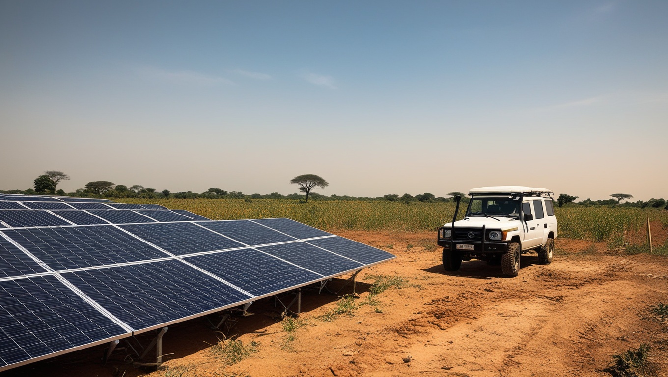
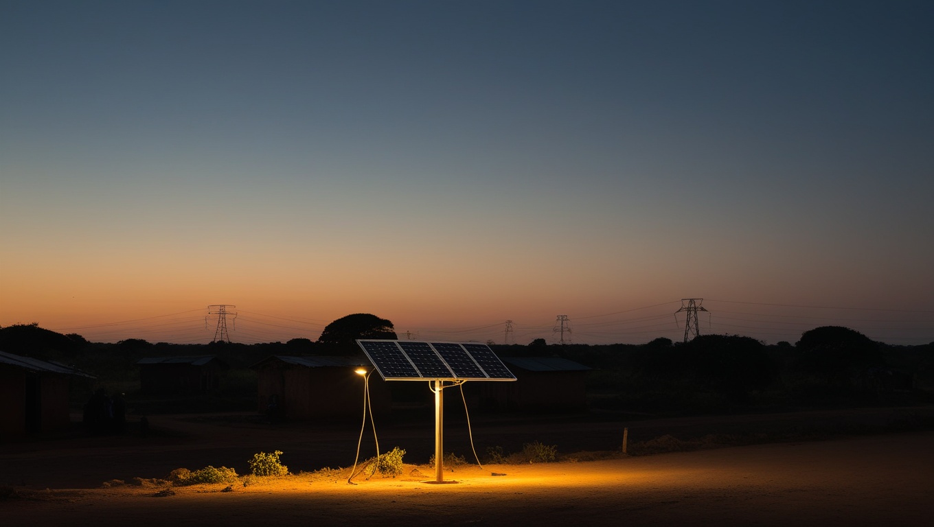
If cocoa draws attention, a second driver acts more quietly but just as deeply: fuelwood. In several sub-Saharan African countries, firewood and charcoal represent up to 90 % of primary energy consumption, according to the FAO. This dependence turns every household into a draw on the forest resource, and weighs particularly on forest edges and degraded formations, those that inventories too often classify outside the scope of strict deforestation even though they undergo continuous degradation. In the Sahel, where cover is already scarce, this pressure is decisive: on dry and fragile ecosystems, wood collection and grazing pressure are enough to push back the few wooded formations. Niger, with 0.8 % of cover, is the extreme illustration. Tackling deforestation without tackling access to alternative cooking energy amounts to plugging a leak while ignoring its source.
To these two drivers is added urban sprawl, which nibbles at the edges around rapidly expanding cities. Three dynamics therefore combine: the expansion of cash crops, which explains most of the coastal deforestation; fuelwood, which fuels a diffuse and continuous degradation; and urbanization, which pockmarks the forest fringes. Depending on the area, these factors weigh differently. On the humid coastal belt (Côte d'Ivoire, Benin, Nigeria), it is cash-crop agriculture that dominates; in the Sahel (Niger, Burkina Faso, Mali), it is grazing pressure and wood collection. One and the same forest-loss statistic thus covers very different mechanisms, which call for distinct responses.
Benin, the sharpest relative loss in the sample
The sub-region cannot be reduced to the Ivorian case. In its own way, Benin illustrates an erosion just as worrying in pace. The country has lost 9.3 points of forest cover in two decades, falling from 36.7 % of territory in 2000 to 27.4 % in 2021, that is about 10,500 km² of forest gone. This is the sharpest relative loss in the entire West African sample over the period. Benin certainly starts from a higher level than Côte d'Ivoire, but the speed of decline there is comparable, which should raise the alarm: without a change of course, the country would follow the same downward slope as its neighbour, with a lag of one generation. This particular position gives Benin a direct, and not theoretical, reason to build robust forest monitoring.
The comparison between 2000 and 2021 is illuminating when set against the starting levels. In 2000, Senegal (46 %), Ghana (38.9 %) and Benin (36.7 %) formed a group of well-forested countries; Côte d'Ivoire, already eroded, stood at only 16 %. Twenty-one years later, Senegal limited the damage, Benin fell heavily, and Côte d'Ivoire continued its decline to a near-Sahelian level. The trajectories diverge markedly from comparable conditions, which, once again, points to policy choices rather than geographical fate.
Nigeria, the largest loss in absolute terms
Reasoning in percentages is not enough: one must also look at areas. In absolute terms, it is Nigeria that shows the largest loss in the sub-region, with about 34,300 km² of forest gone between 2000 and 2021, for a residual cover of 23.6 % of territory. Côte d'Ivoire follows with nearly 23,700 km² lost, then Burkina Faso and Benin, each around 10,500 km². These orders of magnitude are a reminder that the West African forest challenge is regional and not confined to one country: Nigeria by its mass, Côte d'Ivoire by its speed, Benin by its relative pace, each contributes to one and the same continental erosion.
A continental erosion, the fastest in the world
What national data reveal, the continental scale confirms with force. According to the FAO's Global Forest Resources Assessment (FRA 2020), Africa recorded over 2010-2020 the highest net rate of forest loss in the world, at 3.9 million hectares per year. Making matters worse, this pace has accelerated with each decade since 1990, against the global trend, where deforestation is slowing. West Africa is therefore not an exception in a continent that is spared: it is at the leading edge of a dynamic that makes Africa the world's epicentre of forest loss. Where Asia and Latin America are bending their curve downward, the African continent is accelerating, carrying a growing share of global deforestation.
The cost of inaction: the forest that feeds the fields
Forest loss is not only a matter of biodiversity or landscape. Forest provides direct economic services: regulation of the water cycle, maintenance of soil fertility, carbon storage, protection against erosion. Yet these are exactly the services that condition the agricultural productivity on which West African economies depend. By destroying forest to extend crops, the region saws off the branch on which its agriculture rests: less forest means, over time, more erratic rainfall, less fertile soils and more vulnerable yields. Côte d'Ivoire has lost more than 52,000 km² of cover since 1990; at continental scale, 3.9 million hectares vanish each year. Without a change of course, the degradation of ecosystem services will end up weighing directly on food security and rural incomes, turning a short-term farming gain into a lasting loss.
The paradox is cruel: deforestation is presented as an economic necessity, whereas in the medium term it destroys the very productive base it claims to serve. A hectare cleared for cocoa pays off for a few seasons, then impoverishes the soil and destabilizes the rainfall regime on which the crop itself depends. The short-term calculation and the long-term calculation are in head-on conflict, and it is precisely the absence of a rigorous economic measure of the services rendered by the forest that lets the former prevail over the latter.
What national averages hide
One point is decisive for action: a national forest share, even a stable one, can mask a brutal dynamic. The Ivorian pace fell from 275,000 hectares per year in the 1990s to 71,600 ha/year over 2015-2021, then 26,000 ha/year over 2019-2021. At first glance, this slowdown might pass for good news. It is not necessarily so: deforestation slows first because the stock left to clear is running out. On cover that is now residual, every hectare lost weighs more heavily, because it cuts into a forest already reduced to the essential. The slowdown in volume says nothing about the relative severity of the loss.
Ghana offers the mirror image. Its cover appears almost stable at around 35 % of territory, but this statistical stability covers two opposing realities: on one side the disappearance of natural forests of high ecological value, on the other the rise of plantations that offset the surface lost without offering its functions. A hectare of planted teak is not a hectare of primary forest. Behind one and the same percentage are therefore hidden a wealth that is fading and a monoculture that is settling in. This is the trap of averages: they add up quantities of different natures and give a reassuring image of a reality that is not.
A hectare of plantation is not a hectare of primary forest. Behind a stable national cover can hide a biodiversity that is disappearing and a monoculture that replaces it.
The CRAD angle: without harmonized data, no credible policy
Everything above converges on the same conclusion: West African public decision-making lacks harmonized and verified forest data. The gaps between sources bear witness to this. The share of cocoa in Ivorian deforestation is estimated from 38 % to 45 % depending on the work; residual primary forest, from 0.5 to more than a million hectares depending on the definitions; the magnitude of the loss over thirty years, from 'two thirds' to '90 %' depending on the reference base chosen; the Malian series is probably frozen for lack of updating. These divergences are not anecdotal: they make fine-grained steering almost impossible. One does not govern what one does not measure reliably, and one does not design a credible REDD+ policy or a zero-deforestation cocoa commitment on figures that vary twofold.
This is the conviction that guides CRAD's work, from Benin, where cover fell from 36.7 % to 27.4 % of territory in twenty years, the sharpest relative loss in the sample. We advocate for robust forest monitoring coupling two approaches too often kept apart: remote sensing, which offers a regular and exhaustive view of cover, and geolocated field inventories, which alone make it possible to qualify the real nature of the cover (primary forest, degraded formation, plantation) and to distinguish deforestation from mere degradation. Cross-checking these two sources, disaggregating by area and repeating the measurement from one year to the next means turning a contestable national statistic into an enforceable decision-making instrument.
- Harmonize the definitions. Forest, primary forest, degraded forest, plantation: as long as the boundaries vary from one source to another, the figures remain incomparable and the targets uninterpretable.
- Couple remote sensing and fieldwork. The satellite sees the surface, fieldwork reveals its nature. Cover that is stable on imagery can hide a replacement of natural forest by plantation, which only ground verification detects.
- Disaggregate and geolocate. A national average does not say where to act. Mapping deforestation fronts by area, supply chain and actor is the prerequisite for any targeted policy.
- Repeat over time. An isolated measurement lights up a single moment; a series repeated season after season lights up a trajectory, the only basis for real steering.
Cocoa traceability and financing: two levers inseparable from data
Since the leading driver of Ivorian deforestation is cocoa, the first lever for action is the traceability of that supply chain. Zero-deforestation cocoa commitments, championed by the FAO, the Green Climate Fund and major buyers, are worth something only if they rest on a capacity to link each cocoa plot to its forest history. This is a data challenge before it is a regulatory one: without fine geolocation of plantations and without a reliable forest baseline, the promise of deforestation-free cocoa remains unverifiable, and therefore hardly credible in the eyes of the markets that now demand it. The new regulation of the major importing markets on deforestation-free products turns this traceability into a condition of market access, and thus into a matter of direct income for producers.
Financing follows the same logic. International mechanisms, REDD+ foremost among them, pay countries for forest preserved or restored. But these payments require a rigorous measurement of forest carbon and its evolution: one can be paid for a tonne of carbon avoided only on condition of being able to document it. Here again, harmonized data is not a technical refinement but the key to accessing climate finance. A country equipped with a robust monitoring system can value its forest on carbon markets; a country that lacks one leaves that resource on the table, for want of being able to prove it. The quality of forest monitoring thus determines, very concretely, the capacity to finance preservation.
In the end, West African deforestation is not a phenomenon one merely endures: it is a phenomenon one lets take hold for lack of measuring and arbitrating it properly. Science knows how to map forests, satellite technology is available, financing mechanisms exist. What is missing is harmonized, disaggregated and repeated data that turns the finding into steering. Documenting, sourcing and cross-checking the figures is not a secondary prerequisite: it is the first forest policy, the one without which all the others advance blind.
Key takeaways
- Côte d'Ivoire has lost two thirds of its forest since 1990: from 78,509 km² to 26,109 km², with cover falling from 24.7 % to 8.6 % of territory.
- Regional cover is highly uneven, from Senegal (41.7 %) to Niger (0.8 %), and does not follow the rainfall map but that of human pressure.
- Cocoa is the leading driver: it concentrates about 38 % of Ivorian deforestation and erased a quarter of the country's forests between 2001 and 2015.
- Africa shows the highest net rate of forest loss in the world (3.9 million hectares per year), accelerating since 1990, against the global trend.
- Benin records the sharpest relative loss in the sample (minus 9.3 points in twenty years), which gives it a direct reason to build robust forest monitoring.
Recommendations for West African decision-makers
- Harmonize at the ECOWAS scale the definitions and methods for measuring forest cover (forest, primary forest, degradation, plantation), in order to finally have figures that are comparable and enforceable across countries.
- Deploy national forest monitoring coupling regular remote sensing with geolocated field inventories, the only system able to distinguish deforestation, degradation and the replacement of natural forest by plantations.
- Make geolocated cocoa traceability a priority, linking each plot to its forest history, so as to make credible and verifiable the zero-deforestation cocoa commitments demanded by importing markets.
- Tackle fuelwood at the source by investing in alternative cooking solutions, without which the pressure on the forest edges and dry formations of the Sahel will remain a silent engine of degradation.
- Build the forest carbon measurement capacity required to access REDD+ financing and carbon markets, in order to turn preserved forest into a financial resource instead of leaving it without documented value.
- Update without delay the frozen national series (the Malian case is emblematic) and repeat the measurement every year, because a serious forest policy is steered on a tracked trajectory, not on a dated figure.
Sources
- World Bank, Forest area (% of land area), AG.LND.FRST.ZS
- World Bank, Forest area (sq. km), AG.LND.FRST.K2
- FAO, Global Forest Resources Assessment (FRA) 2020
- FAO, FRA 2020 Country reports
- UNEP-GRID, Interactive Country Fiches, Forest Côte d'Ivoire (IFFN 2021)
- FAO / Green Climate Fund, zero-deforestation cocoa Côte d'Ivoire (REDD+)
- Global Forest Watch (WRI), Ending Deforestation from Cocoa in West Africa
- Global Forest Watch (WRI), Côte d'Ivoire deforestation dashboard
- FAO, The Role of Wood Energy in Africa
- FAO Newsroom, Global deforestation slows but forests remain under pressure
- Nature Food, Cocoa plantations associated with deforestation in Côte d'Ivoire and Ghana